 Click to view
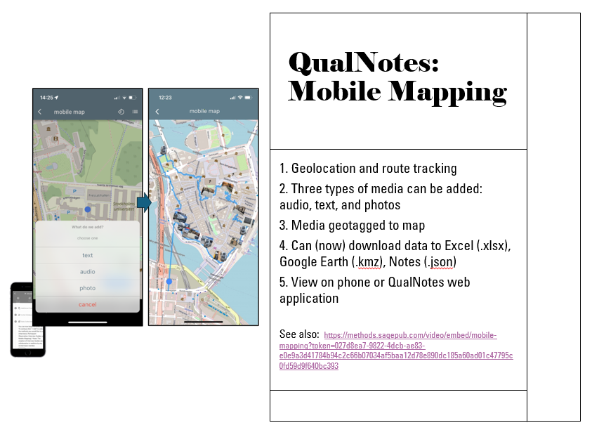
Mobile Mapping
Make a mobile map in the field. QualNotes uses GPS to track your route. Integrating qualitative methods, you can add media (images, voice notes, sound, notes) along the way.
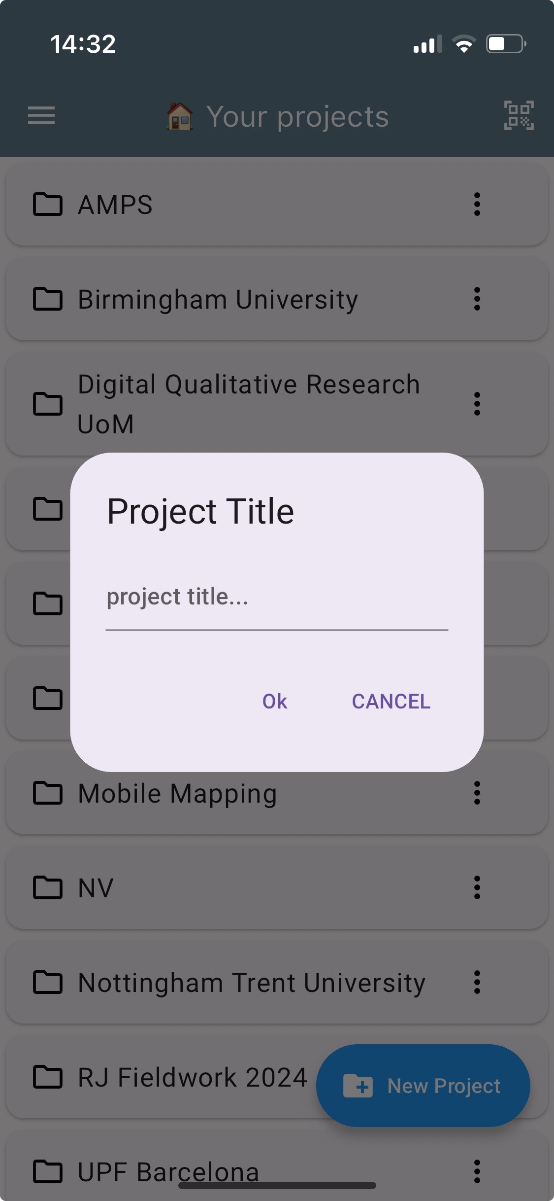
Doing Qualitative Research?
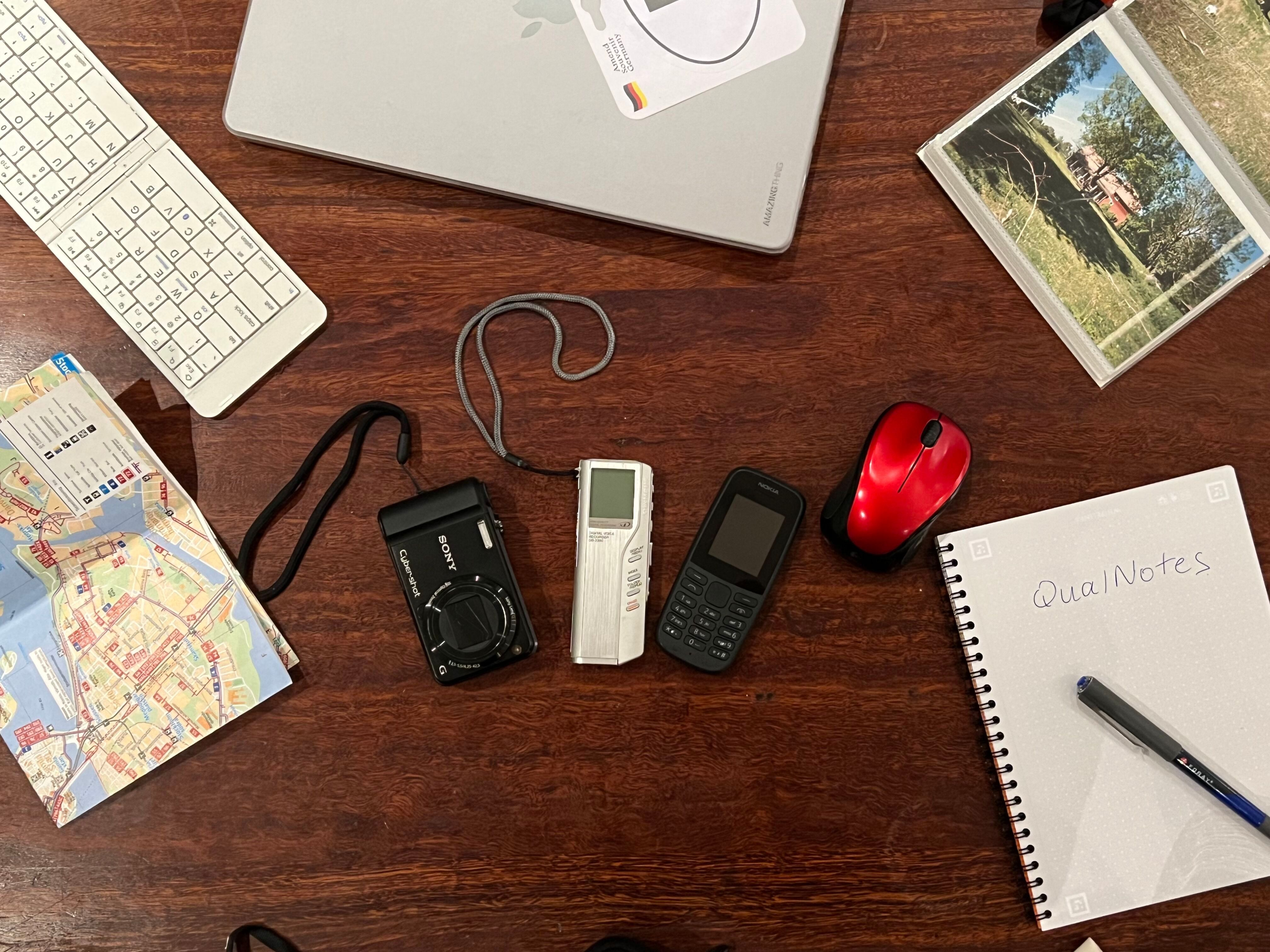
Replace all your qualitative data recording devices with the one you already have in your hand, your mobile phone, just download the 'QualNotes' App.
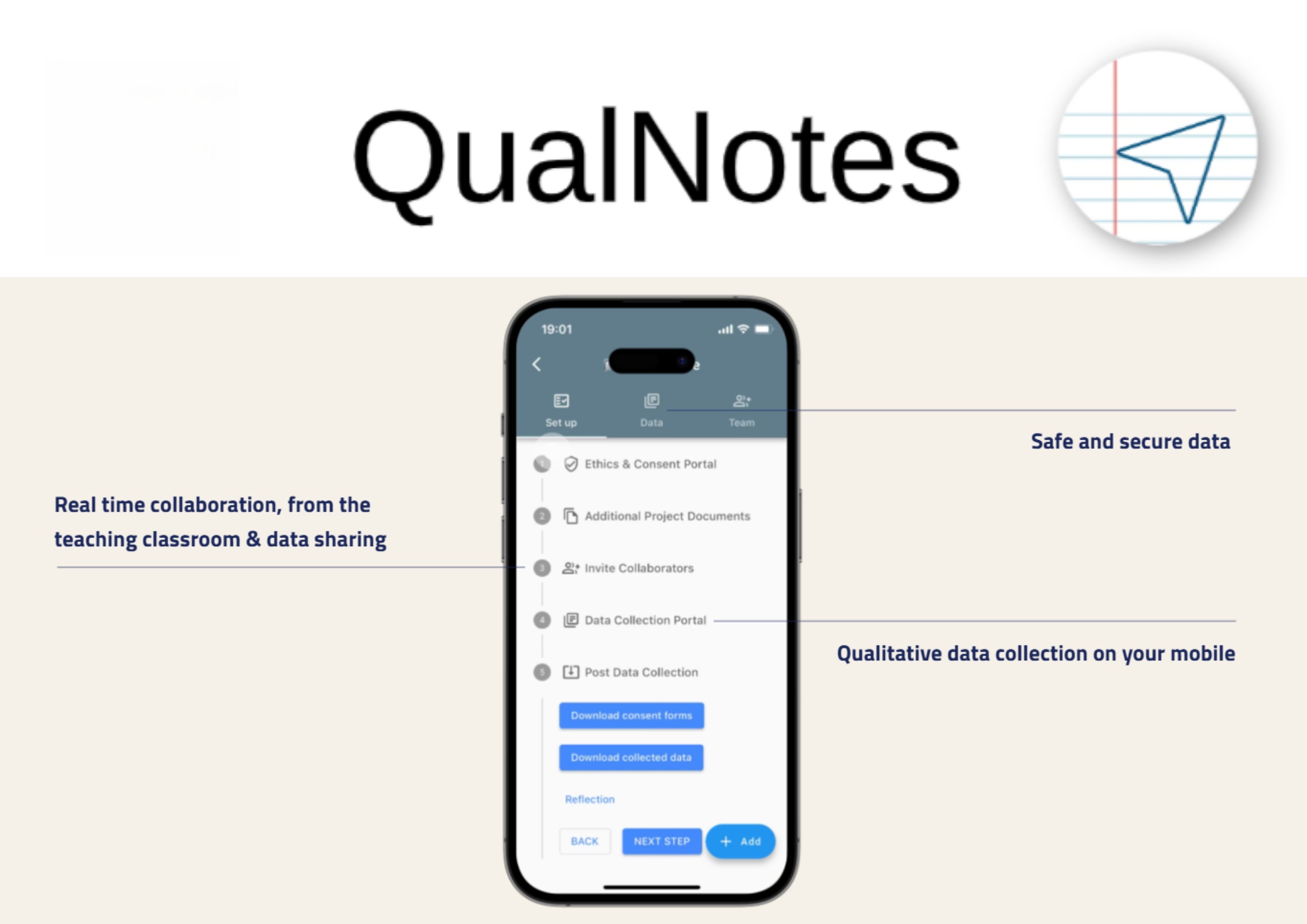
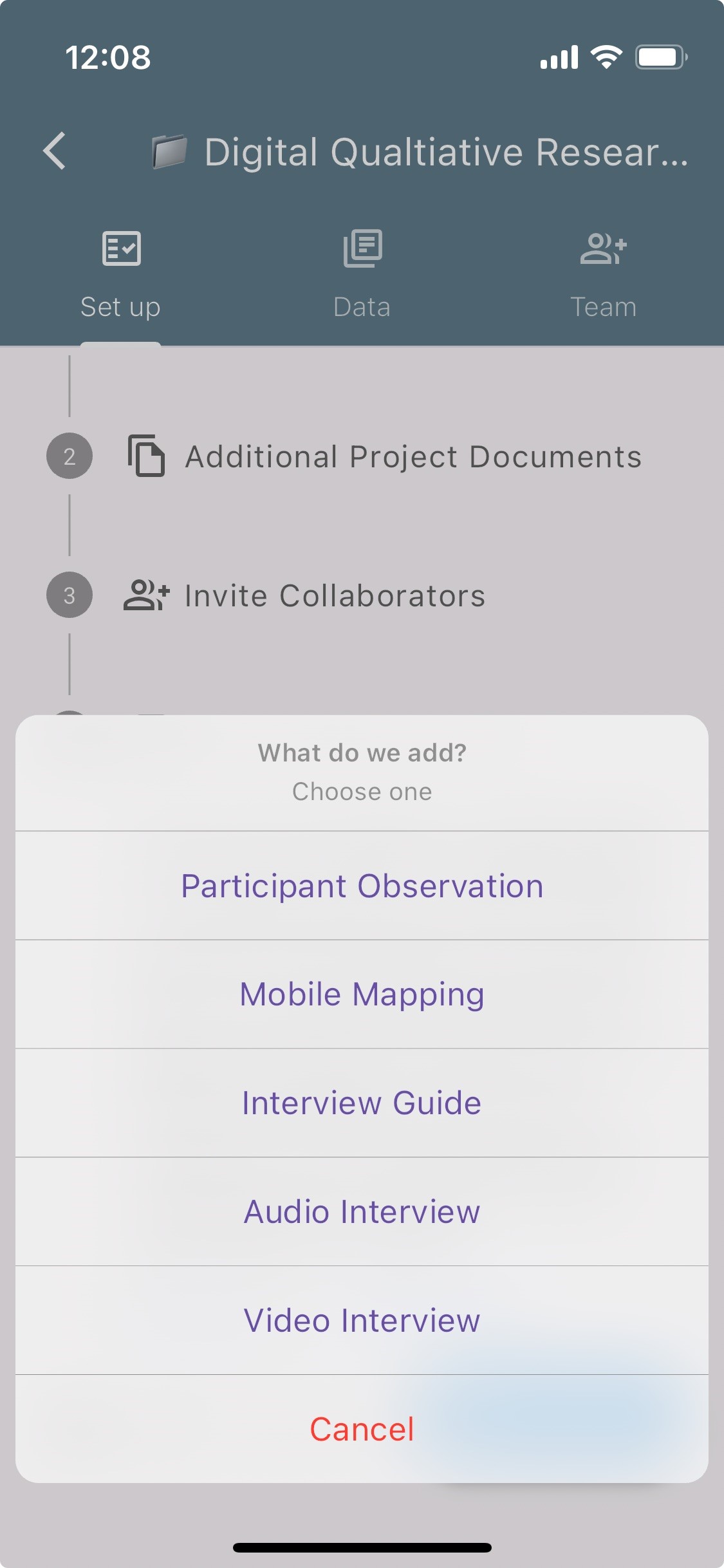
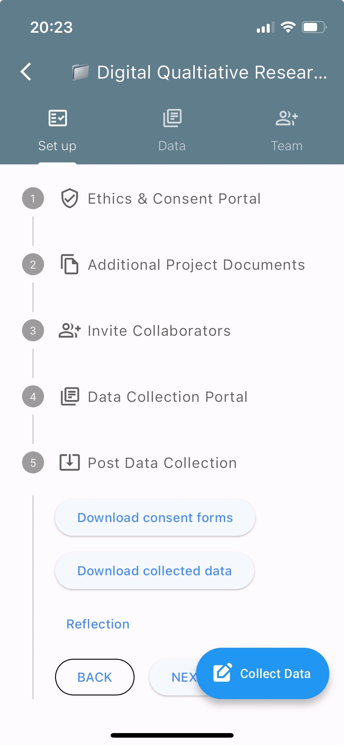
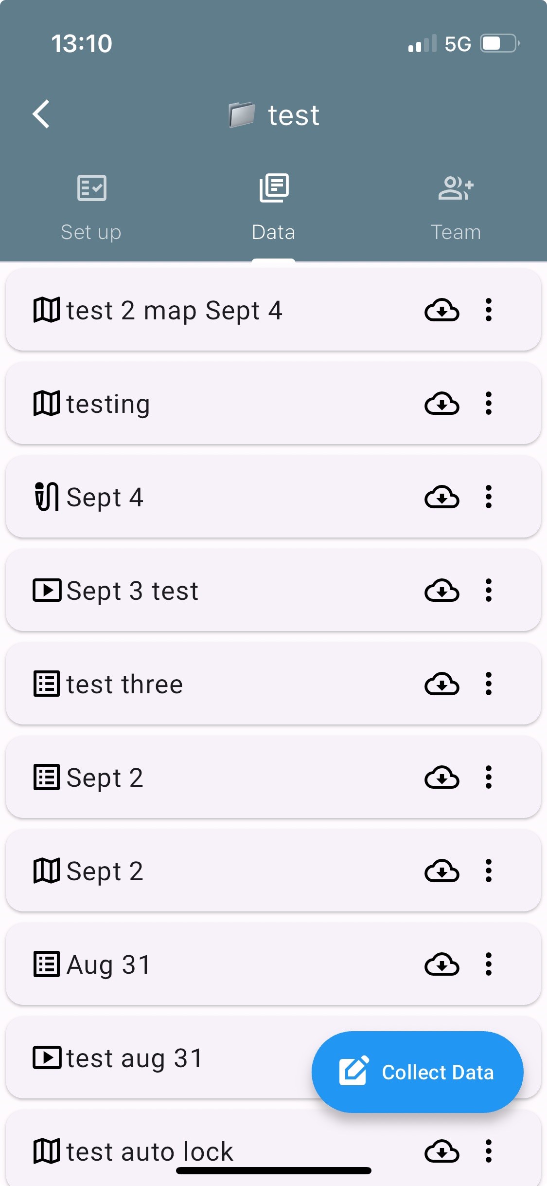
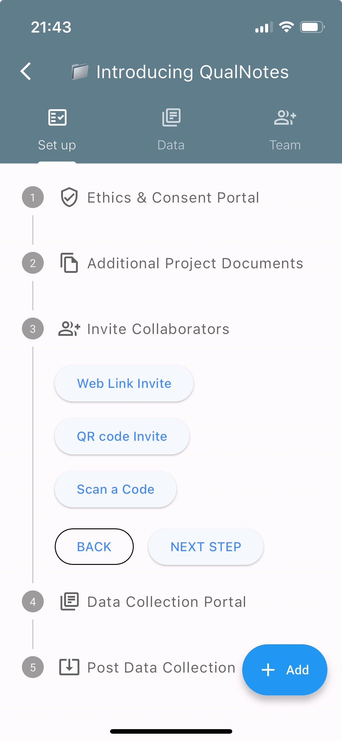
QualNotes is the only mobile App that integrates three qualitative research methods, mobile mapping, interviewing, and participant observation into a single, intuitive platform.
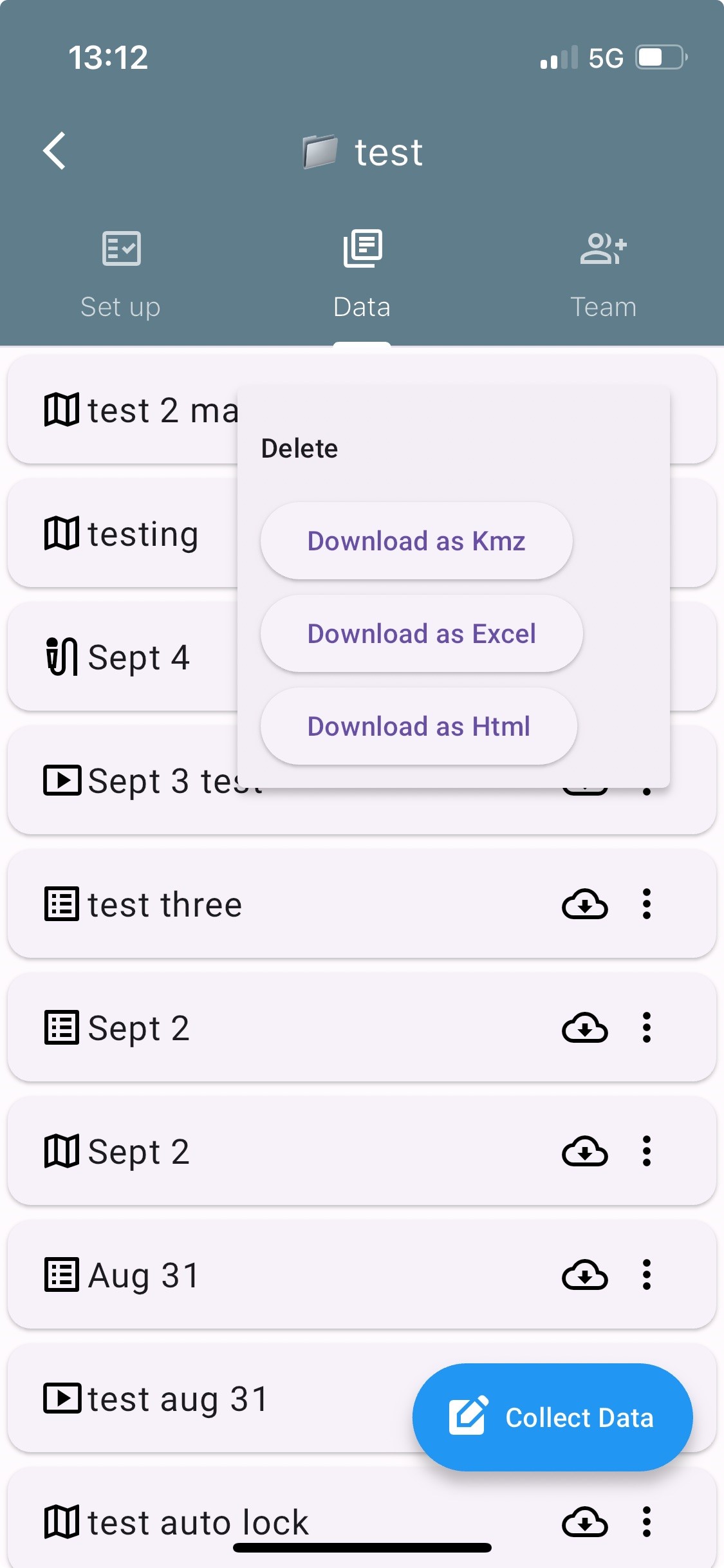
It supports real-time data collection, annotation, ethics management, and collaboration.
Users can capture complex data, manage consent, and coordinate projects all within one App.
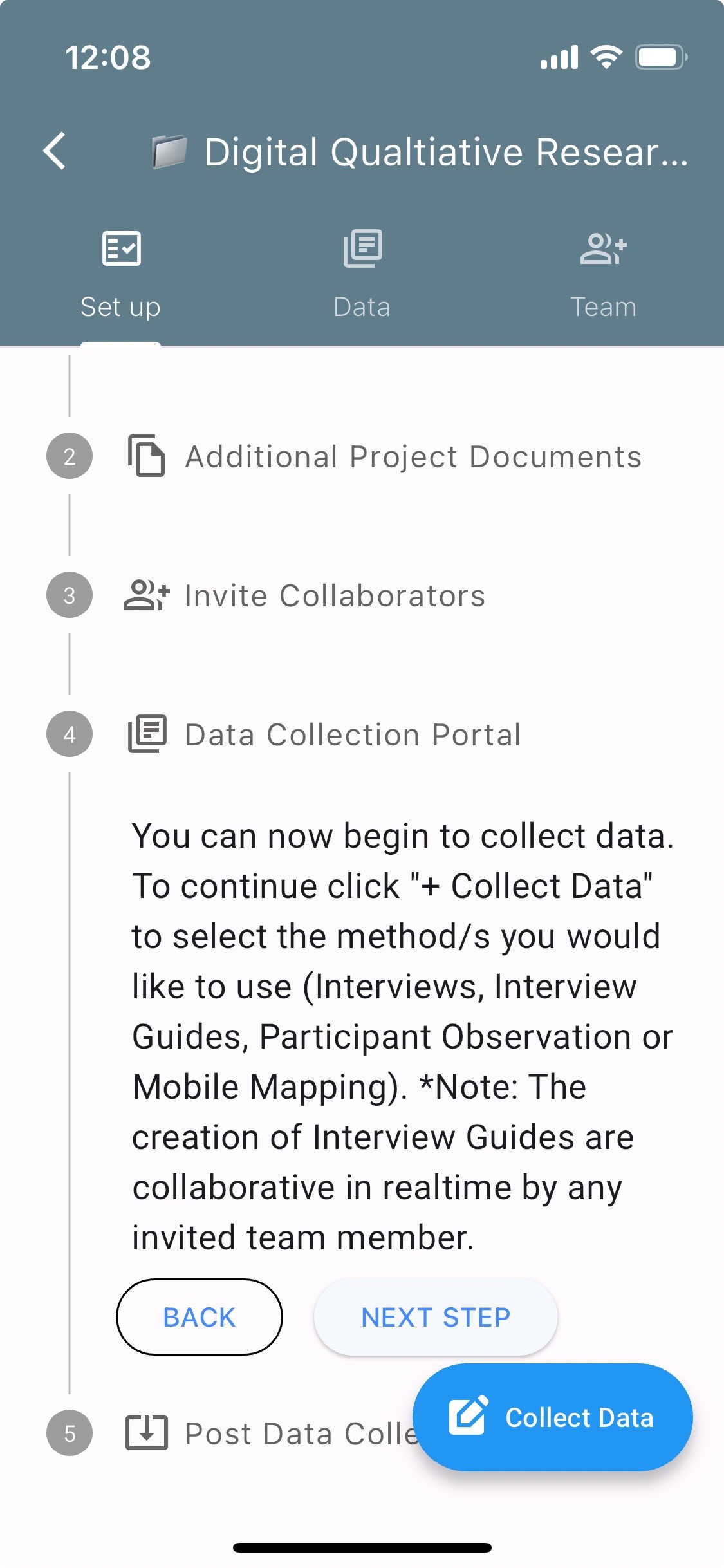
Check out our new QualNotes Blueprint. A step-by-step guide to using QualNotes

QualNotes is the first mobile application for the collection of qualitative data. It provides secure ethics and project management and integrates three methods of qualitative research: mobile mapping, interviews, and participant observation.
Click to view
Make a mobile map in the field. QualNotes uses GPS to track your route. Integrating qualitative methods, you can add media (images, voice notes, sound, notes) along the way.
 Click to view
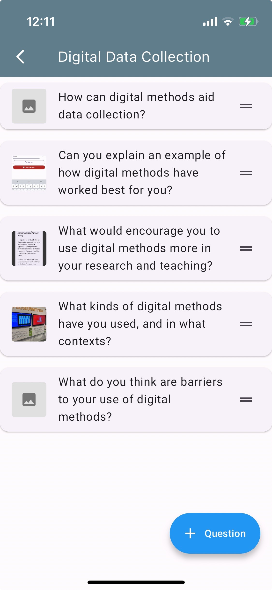
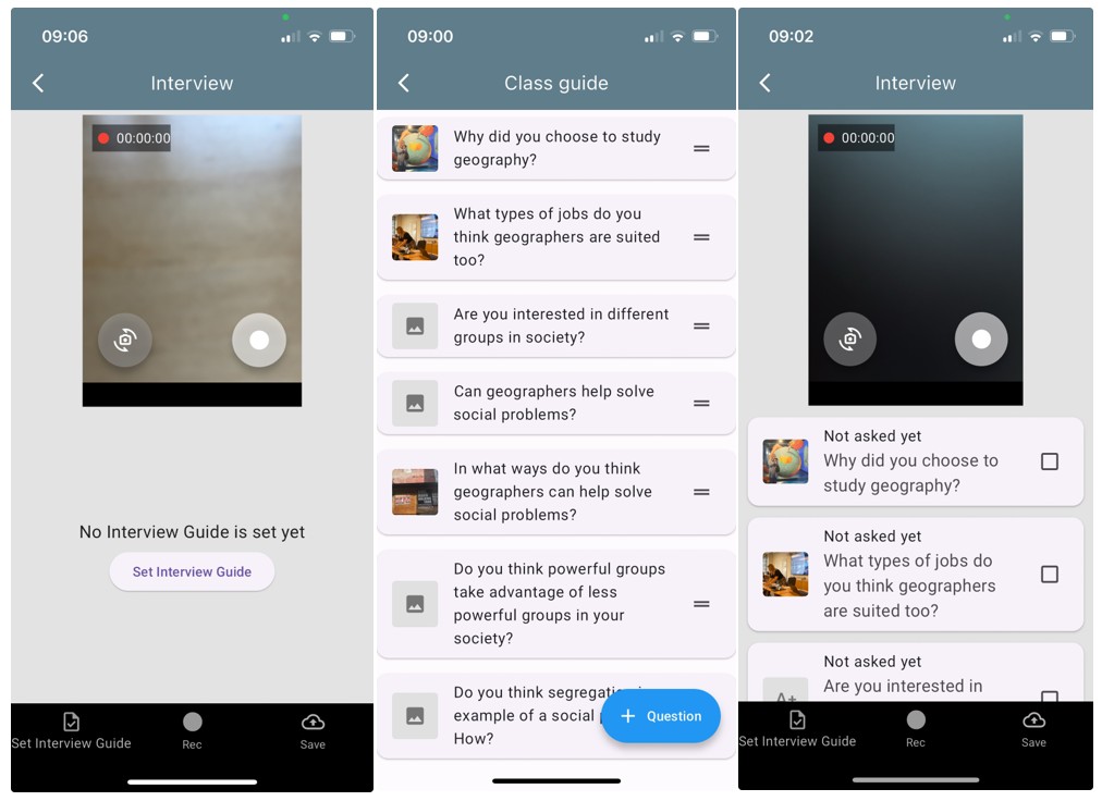
Create a qualitative research interview schedule, with photo elicitation options. Use that schedule to record your interview with sound and/or video. The recording is timestamped by question for easy transcription.
 Click to view
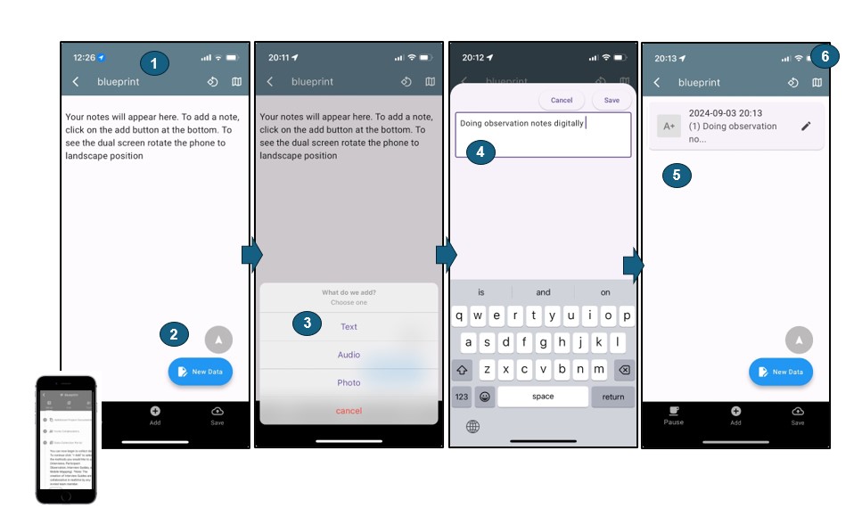
Take field notes on your phone. Observation notes are timestamped and geolocated, with images and sounds supported.
 Click to view
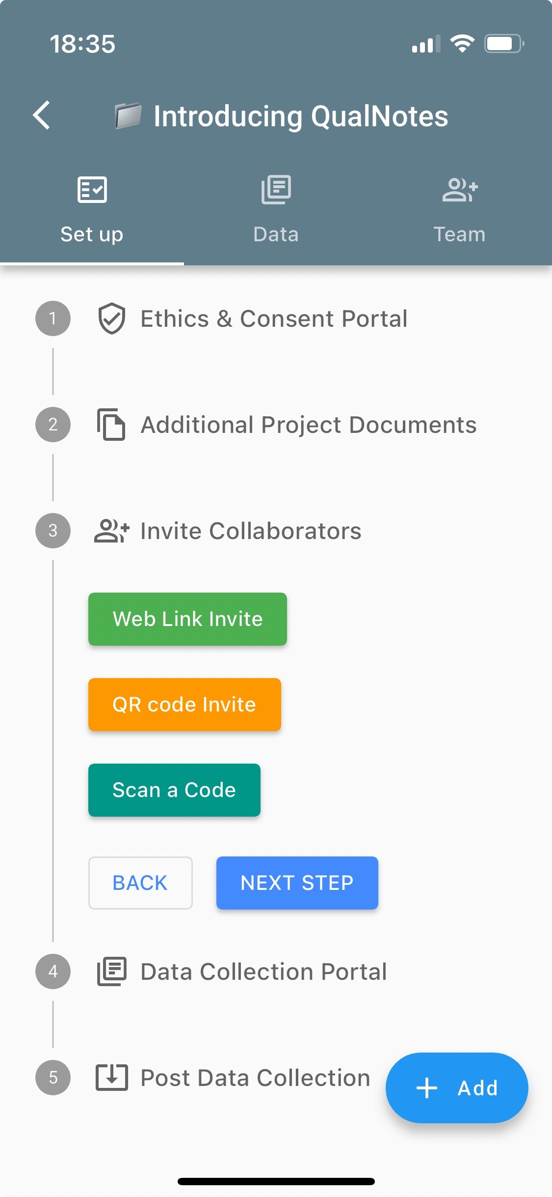
Built-in tools allow real-time collaboration and secure data sharing. Collaboration is foundational to the app’s design.
 Click to view
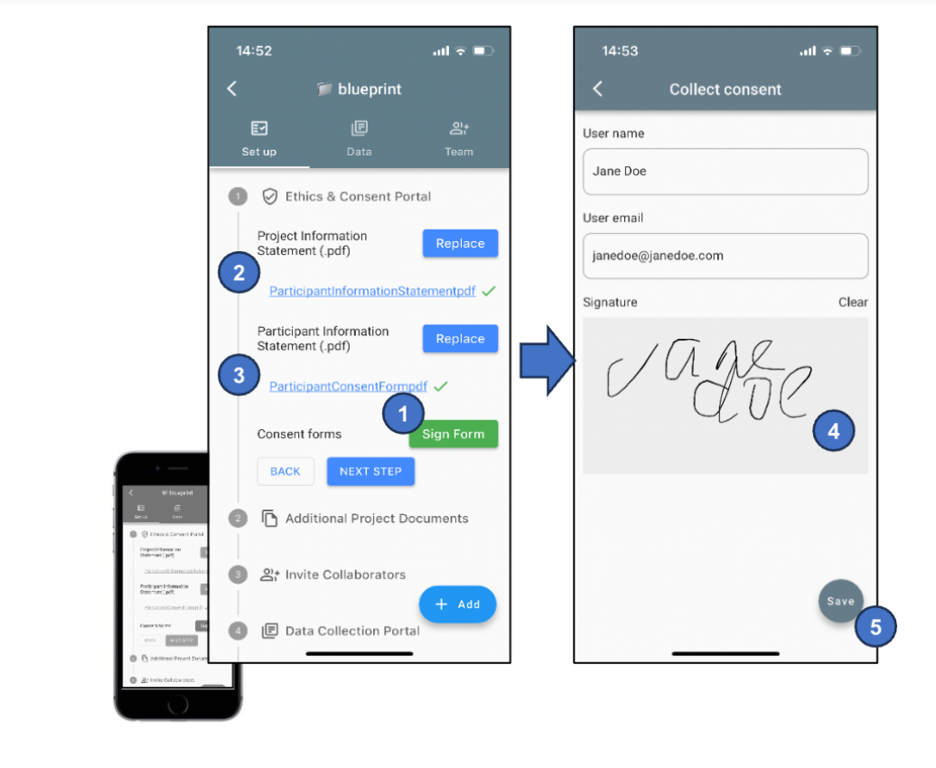
Upload Participant Information Statements and Consent Forms as PDFs. Participants can consent directly in the app.
Find out more about QualNotes here including how the App was developed, examples from QualNotes in the field, the privacy policy and data processing agreement, deleting your data, and more.
You can delete user data within the App.
User data comprises the data that you have collected as part of a project or projects.
Deleting user data DOES NOT delete your QualNotes account.
Please email: qualnotes@gmail.com